BC Ferries uses Global Positioning System technology (GPS) to track vessel locations during the operational day.
We are happy to share that information with you for the routes displayed below.
More routes will be added in the months to come, so check back often.
Swartz Bay - Tsawwassen
Tsawwassen - Duke Point
Horseshoe Bay - Departure Bay
Horseshoe Bay - Langdale
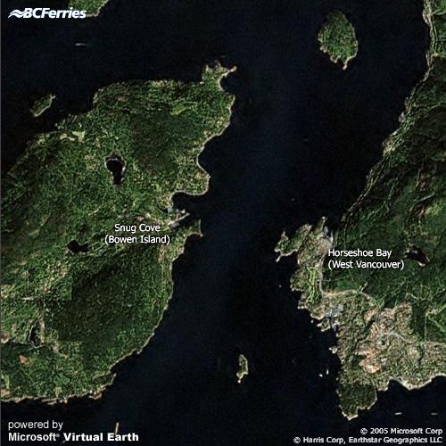
Horseshoe Bay - Bowen Island
Swartz Bay - Fulford
Swartz Bay - Southern Gulf Islands
Tsawwassen - Southern Gulf Islands
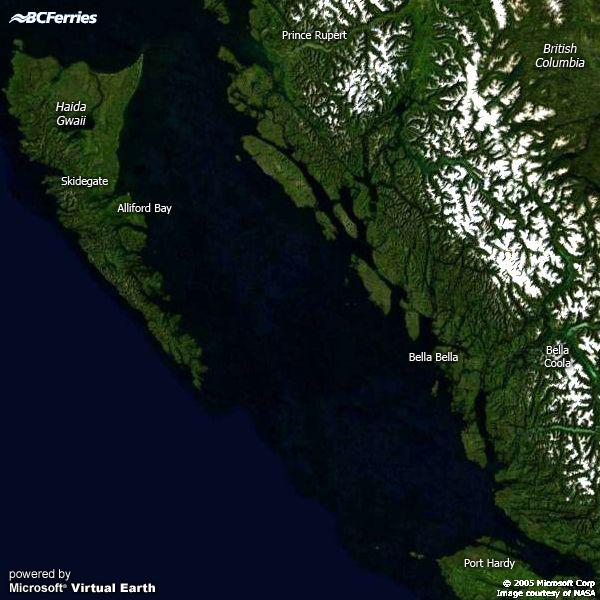
Northern Routes
Using our Vessel Tracking Maps
Click on the thumbnail map of your choice.
Mouse over the arrow or star icons to view vessel information.
Scroll down the map page for details on vessel status and time of last update.


 or star
  icons to view vessel information.